Your Vision, Our Precision
Professional surveying and 3D reality capture services that bring accuracy, clarity, and confidence to your projects.
3D Laser Scanning
High-resolution LiDAR/photogrammetry tied to survey control for exact as-built capture
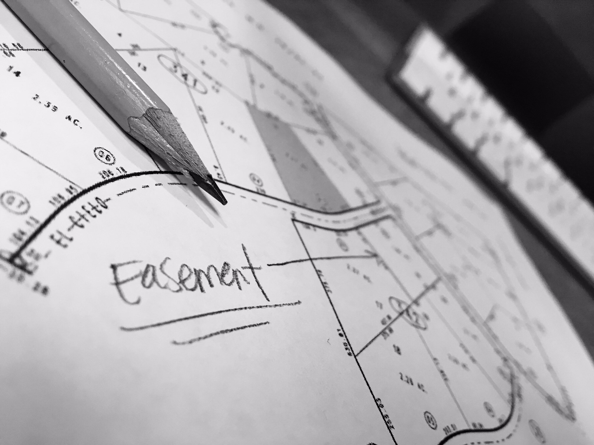
Engineering Survey
High-accuracy site measurement, survey stakeout, control networks, and as-built mapping for design & construction
Robotic Layout Solution
Precision BIM-to-Field layout of anchors, survey points, embeds, sleeves, lines and any features required with robotic layout solutions
About Us
At TerraFusion360, we believe precision is the foundation of every successful project. Our team combines the fundamentals of surveying, engineering knowledge, and field expertise with the latest surveying and 3D capture technology to deliver the reliable data you need for smarter planning, faster execution, and stronger results. Additionally, TerraFusion360 brings innovation and unique workflows that adapt to customer needs. With dedication and customer obsession, this team can solve unique and challenging tasks across different industries. Tell us your problem, we find a solution!
Why Choose TerraFusion360?
- Powered by advanced tools: Leica LiDAR scanners and robotic total stations, robotic layout solutions that maintain a +/-3mm accuracy, and more
- Team with a combined 30+ years of surveying experience and strong engineering credentials
- Commitment to accuracy, efficiency, innovation and customer satisfaction
- Dedicated to helping clients make data-driven decisions with confidence
Services
At TerraFusion360, we provide advanced surveying and 3D reality capture solutions tailored to the needs of construction and engineering teams. Whether indoors or outdoors, we combine laser scanners, robotic total stations, mobile mapping technologies, and robotic layout solutions to deliver unmatched accuracy and efficiency.
3D Laser Scanning & Reality Capture
- High-resolution terrestrial LiDAR and mobile mapping for exact as-built capture.
- Survey-grade control integration to ensure accuracy across entire projects.
- Refined, registered point cloud data deliverables.
- Advanced outputs: 3D models, Clash detection, 2D CAD drawings.
Engineering & Construction Surveying
- Traditional survey stakeouts and control networks.
- High-accuracy as-built mapping for design validation and progress tracking.
- Topographic surveys for site planning and development.
- Indoor/outdoor survey services.
- Continuous consulting and support throughout the project lifecycle.
Robotic Layout & Printing Services
- Robotic layout solutions for both interior and exterior environments.
- BIM-to-Field layout of anchors, drywall, MEP features, survey points, embeds, sleeves, lines, and any features required.
- Robotic printing of survey packages directly onto floors and surfaces for clear, efficient field execution and installation.
BIM & CAD Services
- Generation of 2D CAD drawings from point clouds.
- Scan-to-BIM modeling for facility documentation, coordination, and asset management.
- Integration of survey data into project workflows for seamless collaboration with design and construction teams.
GIS Services
- Geospatial data management and mapping for planning, design, and asset lifecycle support.
- Utility and infrastructure GIS development aligned with survey control and field-verified data.
- Construction-focused GIS integration across BIM, CAD, and reality capture workflows.
- Spatial analytics and geospatial intelligence for informed, location-based decision-making.
Photogrammetry & Remote Sensing Consultation
- Aerial and terrestrial photogrammetry workflows for high-resolution 3D and mapping outputs.
- Remote sensing data evaluation and integration across LiDAR, imagery, and geospatial datasets.
- Photogrammetry-to-GIS and BIM alignment for engineering and construction applications.
Frequently Asked Questions
Who do we work with?
We partner with general contractors, engineers, architects, developers, and owners who demand accuracy, accountability, and clarity. Our clients rely on us when assumptions are not acceptable and precision matters.
What types of projects do you specialize in?
We specialize in commercial, industrial, and infrastructure projects, including complex sites where coordination, verification, and existing conditions are critical to success.
Where does TerraFusion 360 operate?
TerraFusion 360 provides services across North America, supporting projects throughout the United States, Canada, and Mexico. Our workflows are designed for both on-site execution and remote delivery, allowing us to mobilize wherever reality capture, surveying, robotic printing, or geospatial expertise is required.
What makes your reality capture different?
We don't just capture data—we deliver actionable intelligence. Our workflows are designed around construction and engineering outcomes, not just visuals. Every dataset is structured, aligned, and validated to support real-world decisions.
How accurate is your data?
Accuracy is defined at the outset and delivered accordingly. We provide survey-grade accuracy when required, using professional-grade equipment and disciplined control workflows.
How does surveying improve your reality capture accuracy?
Survey control ensures all captured data is geometrically reliable and defensible. By tying reality capture to verified control, we eliminate drift, reduce registration error, and deliver datasets that can be trusted for layout, verification, and design integration.
What applications is robotic printing best suited for?
Robotic printing is ideal for:
i. Interior layout (walls, penetrations, sleeves, embeds)
ii. Exterior layout (building footprint, site/civil layout, parking lot, utility & energy infrastructure)
iii. MEP coordination and prefabrication support
iv. Slab and deck layout
v. Complex geometries and high-density layouts
It is especially valuable on projects where speed and precision directly impact cost and coordination.
How does robotic printing integrate with surveying and BIM?
Robotic printing is fully integrated with our survey control networks and BIM workflows. Digital models are validated, aligned to control, and executed in the field—ensuring design intent is accurately transferred from model to reality.
Can you integrate with our existing drawings or BIM models?
Yes. We routinely align captured data with existing design files to validate conditions, detect conflicts, and confirm constructability—before issues reach the field.
How fast is your turnaround time?
Speed matters—but accuracy comes first. Most projects are delivered within days, not weeks, depending on size and complexity. We optimize workflows to meet construction schedules without compromising quality.
How does TerraFusion 360 reduce risk and rework?
By providing verified existing conditions, we eliminate assumptions early. This reduces RFIs, prevents clashes, minimizes rework, and protects schedules and budgets.
Is our project data secure?
Yes. All project data is handled with strict confidentiality and managed using secure storage and access protocols.
Contact
Reach out to us if you need any of the services we provide. Your vision, our precision!
Address
224 Kennedy Drive, Malden, MA 02148
Call Us
+1 781 851 6149
Email Us
info@terrafusion360.com